Description
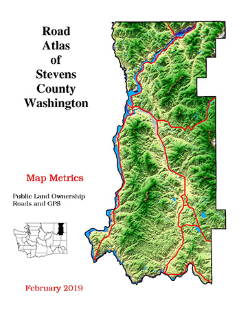
ROAD ATLAS OF STEVENS COUNTY This road atlas has been used by Emergency Services, Realtors and anyone who really needs access to every road, named or unnamed, in the county since 1999. It includes township and section lines, public land ownership, parcel lines, GPS grid, relief shading and mile markers. It is printed on heavy paper with waterproof ink. The covers are laminated to withstand spills and bound with spiral coils so it can be opened entirely to one page. The current edition is 2018.


